Fishermen’s Trail Day 4, May 17, 2025
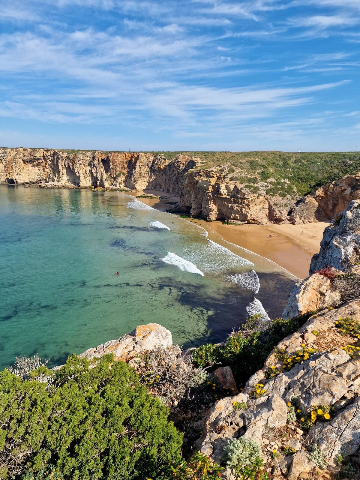
Sagres, where we spent the night, is situated at the very south-western tip of Portugal. The landscape here is almost flat, a plateau about 40-50 meters (130-165 feet) above sea level. From the plateau, there are vertical cliffs down to the ocean.
The bedrock here includes volcanic rocks. In a few places, the bedrock has allowed the cliffs to form coves with sandy beaches, offering access to the sea. Sagres is a well-known spot for surfers, and these beaches were full of them, waiting for the perfect wave.
The trail followed the cliff edge to the Farol do Cabo de São Vicente lighthouse buildings. This is considered the southwesternmost point in Portugal, attracting many tourists. The beautiful white-painted buildings looked well-maintained, but unfortunately, we couldn’t go inside the area.
After this, the trail turned northward, beginning the journey along Portugal’s west coast. The first 4-5 km (2.5-3 miles) were tough to walk. The terrain consisted of lava rocks mixed with loose sand and sparse vegetation.
However, the vegetation was beautiful, with flowers in vibrant white, blue, yellow, and purple. The colors were incredibly rich and intense.
It can be very windy here, but we experienced practically no wind. We had to search for breezy spots on the cliff edge when we took breaks. Temperatures reached the mid-20s Celsius (mid-70s Fahrenheit), and the clouds stayed out over the ocean.Today’s goal was the small town of Vila do Bispo, after a good 20 km (12.4 miles). After 14 km (8.7 miles), the trail left the cliff edge, and we walked on a gravel road inland to the town. We celebrated May 17th (Norway’s Constitution Day) by, among other things, buying a box of chocolates—our first chocolate on the trip!


