Sørøya Lengthwise Day 4
We camped on the old road right by the sea in Låterbukta. I woke up early this morning to the sound of many birds and splashing in the ocean just beyond the tent. I had to peek out of the doorway to check what was happening. It turned out to be a school of small fish surfacing in the sea, and the birds, mainly seagulls, were hunting them. Unfortunately, I couldn’t get any photos.
We started hiking at 9 AM and followed the old road into Langstrandfjorden. I could see it had been a long time since there was traffic on the road. The reason for that became clear after just under two kilometers. There was a massive rockslide across the road, and it hadn’t been cleared for several years. The rock face above the road looked unstable, and perhaps more slides will occur. We climbed over and around the huge boulders.
At the very end of the fjord, the route left the road and went up the hillside. The climb was 335 meters (approx. 1,099 feet) before it flattened out. In contrast to the previous days, today had low cloud cover, and we feared entering fog at the top of the climb, but the fog lifted as we ascended.
The route then descended to Langstrandvatnet and Holmevannet lakes. By the time we reached the latter, the cloud cover was beginning to break, and the temperature rose considerably. Now, it was t-shirt and shorts weather.
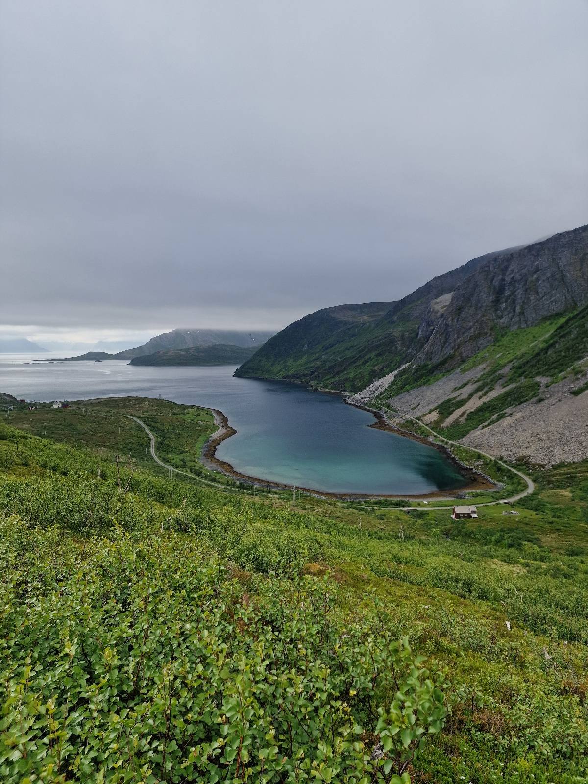
On the north side of Holmevannet, the route meets a gravel road that crosses the island. To the southeast, after four kilometers, it descends to Hellefjorden.
We left the route here and took a detour down to Hellefjorden, where we’ll be staying overnight. Our children and grandchildren are currently there, and there was going to be a big party in the barn with 80 guests!
In Hellefjorden, there are only 13 houses, but only a few permanent residents. Now, there were many holiday guests in the houses.


Hellefjorden