Colorado Trail Day 4: Saturday, August 2, 2025
It didn’t get colder than 10°C (50°F) last night, but a strong draft made it feel a lot chillier.
Yesterday, we resupplied for four days in Bailey. Since I’m carrying all the food, that means I have eight days’ worth of rations in my pack.

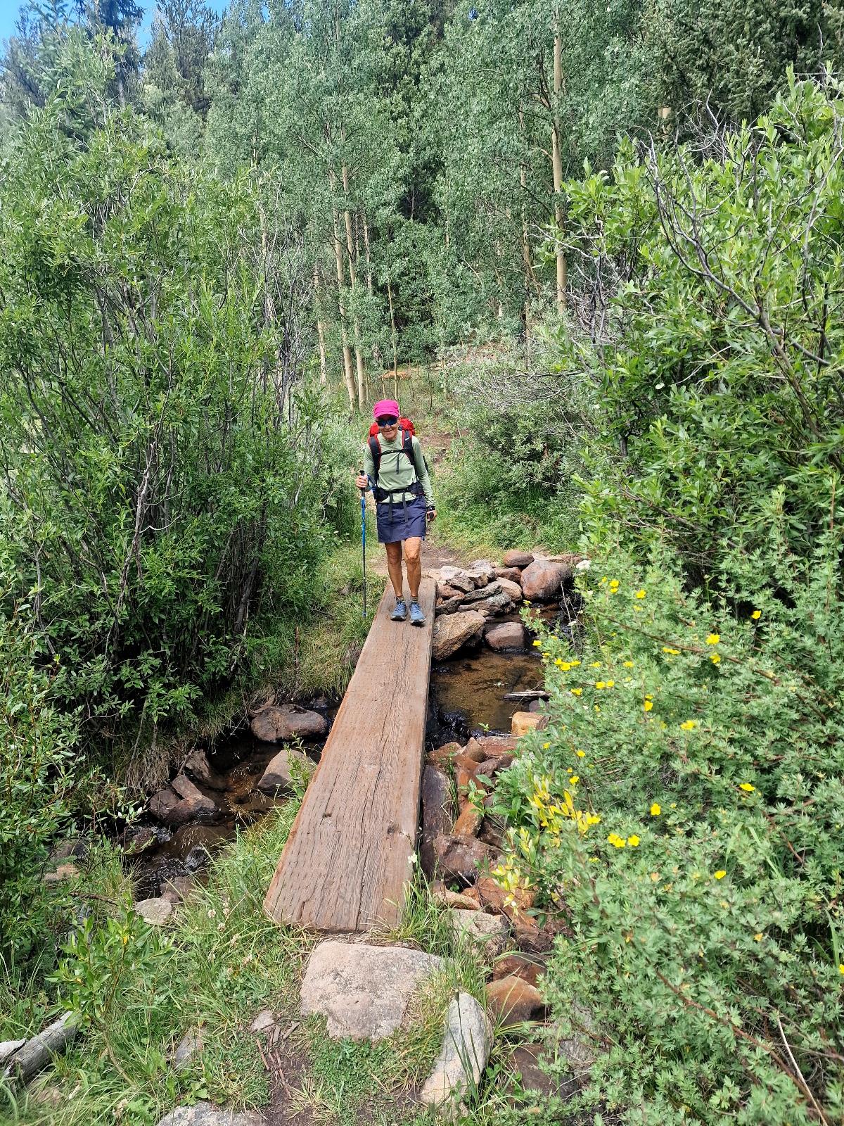
We started hiking at 6:20 a.m., with an immediate climb. We started on a rocky logging road before turning onto a trail that wound up through the forest. We made sure not to push too hard, too fast. This is the longest and most demanding climb of the day, and if you go too fast, you’ll pay for it later. Especially given our current situation.
My watch showed that we had passed 3,000 meters (9,843 feet) above sea level. We could feel it in our breathing, and we continued to climb to 3,250 meters (10,663 feet) before the trail leveled out slightly.

We’ve been reading on Facebook that several hikers have experienced altitude sickness in this area. My Garmin Enduro 3 monitors my health, and it showed I was only 38% acclimatized to the altitude we were at last night. The watch also showed my pulse oximetry readings have been steadily decreasing over the last few days as we’ve gained elevation. Luckily, we haven’t felt any headaches.
The trail then descended into an open area without trees. We dropped into the valley floor of a small, wide valley with forests on both sides. It was only about 300 meters (984 feet) wide, but it stretched for a full 9 km (5.6 miles). The valley sloped gently upwards, and we hiked its entire length along the right-hand treeline.

We took a food break halfway through the valley. While we were sitting there, another hiker came by. He asked if we had seen the big, beautiful moose standing in the valley. Darn! We hadn’t noticed it, or perhaps it wasn’t there when we passed. We did, however, notice a small beaver dam in the creek running along the valley floor.

The valley ended in a forested pass at an elevation of 3,334 meters (10,938 feet), and the trail now led into a proper valley with massive, high sides. The entire valley was covered in trees.

We had planned to take a long break by a creek, and just as I was filtering water and we were about to sit down, we heard the first clap of thunder. A moment later, the first raindrops started to fall. So much for our break! We quickly put on our rain gear and kept hiking. But as is often the case, thankfully, I’d say, it only rained for a few drops. The storm passed by us, but the thunder continued to rumble powerfully.
We ate and lay down on the ground to relax for a while. After a long rest, we were back on the trail, which now sloped gently downhill. We started looking for a campsite, and after covering 31 km (19.3 miles), we found a great spot.
Since it’s Saturday, we ran into more hikers who were out for a weekend trek.
Our bodies felt heavy today, and we were both exhausted by the end of the night. I was too tired to write, and after we finished dinner, I lay down and immediately fell asleep at 7:30 p.m. Inger claims I was asleep before my head hit the pillow.
Today’s stage was 31 km (19.3 miles) with a total ascent of 850 meters (2,789 feet). We are camping at 2,920 meters (9,580 feet) above sea level.