The Colorado Trail – Day 6: Monday, August 4, 2025
It was a chilly 4°C (39°F) when we started hiking at 6:20 AM today. The trail immediately began to climb, ascending 600 meters (approx. 1,970 ft) up to the pass just east of Georgia Pass. The temperature dropped another degree as we climbed higher up the valley wall, but it rose again as soon as we entered sections where the sun was shining.

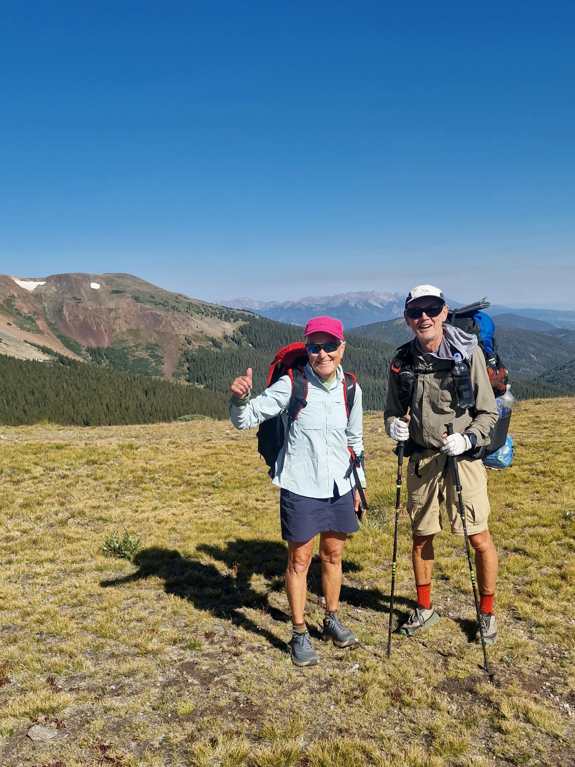
We took it slow and steady on the ascent to conserve our energy.

Once we reached the top at 3,620 meters (11,877 ft) above sea level, we took a break for lunch and enjoyed the view. We were now on the Continental Divide, the watershed that separates the American continent. Rain that falls on the east side of the pass flows into the Atlantic Ocean, while rain that falls on the west side flows into the Pacific Ocean.


Just below the pass, we reached the Continental Divide Trail (CDT), which follows the divide from the border with Mexico north to Canada. The Colorado Trail (CT) and the CDT now merge and follow each other for over 500 km (311 mi) to the south. We don’t expect to meet many CDT hikers here; those heading northbound have already passed this area, and those going southbound haven’t arrived yet. It takes about 5–6 months to hike the entire CDT.


The CT and CDT followed the eastern side of the valley down, and after 21 km (13 mi), we arrived at our lowest point of the day, at 3,020 meters (9,908 ft) above sea level. We took a long break there to get ready for the second major climb of the day—an ascent of 400 meters (approx. 1,312 ft).
It was past 1 PM, and we were on the lookout for the afternoon thunderstorms that are common here, but luckily, they didn’t show up today either.
We started the climb and came to a small creek after just under 100 meters (328 ft) of elevation gain. I filled my water bottles with four liters there, knowing it would be well into tomorrow morning before we found another water source. In total, I now had almost five liters in my pack.
The temperature was 27°C (81°F), and the sun made the steep climbs even hotter. The thin air made us breathe heavily, and our lungs worked like bellows, but our heart rate wasn’t too high.
According to the information on the FarOut app, there were supposed to be some campsites at the top, but we couldn’t find them. We continued for one more kilometer (0.6 mi) and found a flat area with room for a few tents. There we met Beatnick, who was in the process of setting up his tent. We found a great spot for our tent right nearby.
We ate dinner outside at 3,420 meters (11,220 ft) above sea level. The temperature was 26°C (79°F), and there wasn’t a breath of wind or any bothersome insects.
Today’s stage was 26 km (16.2 mi) with a total elevation gain of 1,080 meters (3,543 ft). We’re camping at 3,420 meters (11,220 ft) above sea level.