GR131 Canary Islands, Day 3 – Thursday, Jan 15, 2026
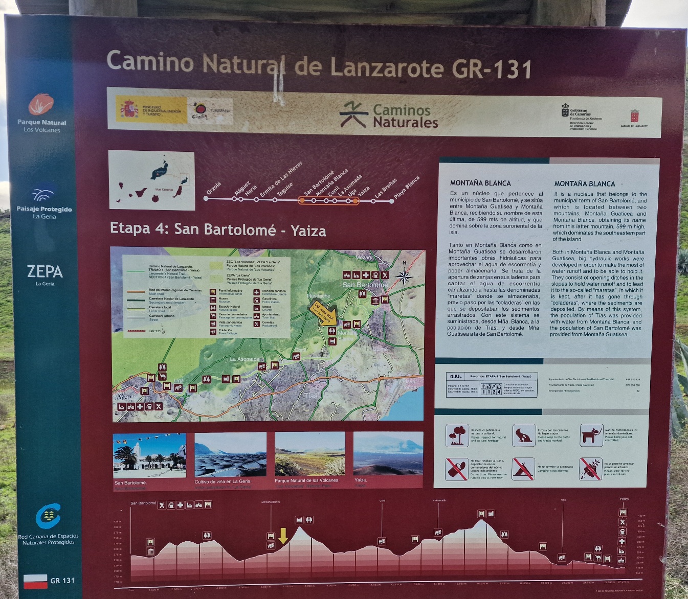
We spent the night in an apartment on the outskirts of San Bartolomé and walked a short distance along road LZ-35 until we reached the GR131.


The route wound around the Montaña de Guatisea volcano before ascending into a valley surrounding the Montaña Blanca volcano. At the mountain pass (400 m / 1,312 ft), we had a magnificent view looking southwest; to the south, we could look down at the airport and watch the planes coming in for a landing.


We hiked down toward the outskirts of Tías and turned west on a paved road. The lava rocks in this area had a yellowish tint. After 9 km (5.6 miles), we reached a gravel road that climbed to an elevation of 420 m (1,378 ft) at Tinasoria.


At this point, the landscape changed character, and the ground became coal-black with ash. In the valley below us, there were thousands of pits, each containing a small grapevine. Semi-circular stone walls had been built around the edges of these pits to provide shelter from the wind. Wine is produced right here on the island.


We had now entered the area where the island’s last major volcanic eruption occurred in the 1730s. The eruption lasted for six years. Ash and lava covered a quarter of the island, and two dozen villages were completely buried. The eruption created 30 new volcanic craters.

The route eventually took us through the village of Uga, and just over a mile later, we arrived at the village of Yaiza, our destination for the day. We stopped at a local café while waiting for our 3:00 PM check-in.
Today we got lucky with our accommodations—the apartment was modern and beautiful.


The weather was partly cloudy with temperatures ranging from 14 to 18°C (57–64°F). With a relatively strong wind, it felt chilly whenever the sun was behind the clouds.
Today’s stats: 18.5 km (11.5 miles) and 415 meters (1,360 ft) of elevation gain.