Colorado Trail Day 15. Wednesday, August 13, 2025.
It was another cool morning. We camped at 3,380 meters (11,089 ft), and it was -2°C (28°F) when we broke down the tent. We had camped under large trees about 10 meters (33 ft) above the valley floor, so there was no condensation in the tent.
We started hiking at 7 a.m. Inger wanted to enjoy her sleeping bag a bit longer in the cold, so we didn’t get up until 6 a.m. It takes us one hour from waking up until we start hiking.


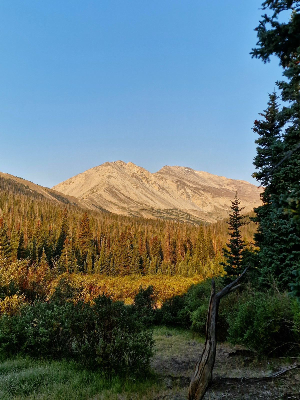
Our campsite was on a long, roughly 800-meter (2,625 ft) climb that we started yesterday. We had 260 steep meters (853 ft) left to reach the top of the ridge. The trail then descended about 800 meters (2,625 ft) into the next valley to Avalanche Trailhead.


On our way down, we saw the marks in the forest from previous avalanches that had swept down the entire mountainside from the peak on the other side of the valley.

We were a bit lost about what to do when we got to the trailhead in the valley bottom. The problem was we were out of breakfast food. There’s a road in the valley we came down into. A local man told us yesterday that it was a highway, but it turned out to be a County Road. It was much less traveled, and it would be harder to hitchhike into the nearest town, Buena Vista, which is 15 km (about 9.3 miles) to the east. We had dinner and lunch to keep hiking, but we wanted to see if we could get a ride into town.
We walked a bit along the road to find a good spot to hitchhike. Three or four cars passed while we walked. Then, sure enough, the fifth car stopped. It was Justin and Anna, and they had camping and hiking gear in their car that they had to rearrange to make space for us.
It turned out they had hiked the Colorado Trail in July and had finished their hike at that exact spot just under two weeks ago. Now they were on a road trip. They lived in Lake Louise, Canada. Anna was French-Canadian, and Justin was from New Zealand. They were on their way to Buena Vista for breakfast. They were 40 years old and hikers, just like us, and very friendly.
An American breakfast sounded tempting, so we joined them at Jan’s Restaurant.

The breakfast was, like most American breakfasts at such diners, huge and had a calorie count that would destroy any diet. It was exactly what we needed.
It turned into a very long and incredibly pleasant breakfast, and we had so much to talk about. Justin had also hiked the PCT and CDT, among many other interesting things. Anna had experience with winter and skiing in Canada. We could have sat there all day talking, but we all had to move on.

When the bill came, Justin insisted on paying for all four of us. Wow! This was their Trail Magic for us. They had received help and Trail Magic on their own hikes, and it’s a thing to pay it forward to other hikers. That’s the hiking community in the U.S. It’s a generous and inclusive community. I hope we get a chance to pay it back, too.
We said goodbye to Justin and Anna as they headed north and we went to get groceries. Last year we drove through Buena Vista. Little did we know we’d be back this year.
We considered staying the night in town, but Inger didn’t feel a strong need to. I was ready to keep hiking, so we skipped the overnight stay and went to hitchhike back to the trail.
We were a bit nervous about how it would go because the road up the valley wasn’t very busy. After six minutes, we got a ride. It was Peter who stopped and drove us to the trail. I don’t think he was actually going as far up the valley as we were; he had a cabin just before the valley began.
It was over 30°C (86°F) down in Buena Vista, and it was immediately wonderful to get back on the trail where it was «only» 26°C (79°F). The trail, of course, climbed up the side of the valley, and we gained 300 meters (984 ft) right away. At the start of the climb, there was a cooler with ice-cold soda. I had just drunk half a liter, but the heat made me thirsty, and an ice-cold can of Coke tasted excellent.
After the climb was done, the trail went a little up and down and eventually began a gentle descent. We passed a few creeks, and at one of them, I had to check how far it was to the next water source. It was almost 11 km (about 6.8 miles), which was farther than we planned to hike today. It was already late afternoon. I filtered and filled up so I had four liters in my pack. That way we could have a «Dry Camp.»

We started looking for a campsite. I checked the FarOut app. Hmm, it showed that the first spot was Chalk Creek Trailhead after 9.5 km (about 5.9 miles). We hoped to find something before that, but now we were entering Private Property.
Suddenly we saw a sign that said «Camp» and pointed to a path that wasn’t on the map or on FarOut. We took a chance and followed the path, but we didn’t find a camp and ended up on private land. We approached a building, a dog barked, and a man came out and told us we were on Private Property and to turn around. Private Property is sacred here in the U.S. You don’t mess with that. We annoyingly turned around and went back up to the trail.
Eventually, the trail led down to a paved road, and we followed it for a few kilometers to Princeton Hot Spring Resort. There was a small store there where we bought cold drinks and something to eat. We hadn’t eaten since that gigantic breakfast eight hours earlier. It’s incredible what a big meal can do for your energy.

It was a quarter to seven when we started hiking again. Now we had to follow a road for four kilometers (about 2.5 miles) to Chalk Creek Trailhead. There was only an hour and a half until sunset. It would take us about an hour to get there, and we were getting tired.
Once on the road, we decided to walk but try to hitchhike at the same time. There wasn’t much traffic. The very first car stopped! Unbelievable. It was the Norwegian-American Alseth family. He was from Minnesota.

They dropped us off at the trailhead, and we hiked a little way until we found Bootleg Campground, where we set up our tent. There was one other tent there, it turned out to be David.
It takes a while to set up the tent, make dinner, and so on. We climbed into the tent just as the sun was setting. I’m glad we got a ride for the last four kilometers; otherwise, it would have been dark by the time we were setting up camp.
It had been a long and eventful day, with hiking, a trip to town, travel, and pleasant new friends.
Today’s hike was 27 km (about 16.8 miles) with 800 meters (2,625 ft) of elevation gain. We are now camping at 2,570 meters (8,432 ft).
Hi Inger and Bjorn:
This is Jeff Elseth. The family that picked you up while hitch hiking by Mt. Princeton Hot Springs.
It was such a brief meeting that I forgot to get the name of your blog.
So I did AI search for «blog Colorado trail Norwegian» and I found you.
It was a pleasure to meet you.
My Norwegian ancestors originated around Skien, Telemark, Norway before immigrating to Minnesota in 1868.
I grew up in a Norwegian and Swedish farming community in Newfolden, Minnesota. There were plenty of jokes between the Norwegian and Swedish people.
Enjoy your adventure!
Jeff, Janet, and Rose Elseth
P.S. If you don’t mind. What is your age? I’m impressed with your physical ability!
Hi Jeff, Janet, and Rose!
Thank you so much for picking us up from Mt. Princeton Hot Springs. It was a very kind and welcome gesture. It turned out to be a long day with a lot of road walking for us.
It was especially nice to learn that you are descendants of Norwegian emigrants!
This is our third thru-hike in the US, and we had a superb trek this time as well.
P.S. Inger was born in 1949 and Bjørn in 1960 🙂