Colorado Trail Day 22.
Wednesday, August 20, 2025.
We camped at 3,030 meters (9,941 feet) above sea level. Some strong gusts of wind came through during the night and ripped out one of the tent stakes, so I had to get out and fix it and check the other stakes. It was a warm, foehn-like wind, and the sky was clear. The starry night was exceptionally visible at this altitude, especially with no light pollution. The Milky Way lay like a white belt among all the stars in the sky above me.
It was six degrees Celsius (43°F) and still when we started hiking at 6:50 a.m. We watched the sunrise in the east as we packed up the tent.
We had camped in a spot where the trail went up onto a ridge before descending again. We were glad we were up there, because when we went down 50 vertical meters (164 feet) into the next valley, it got really cold. Our hands got so cold we couldn’t hold our trekking poles. We held the poles in our armpits and warmed our hands against our bodies as we walked through the treeless valley floor. We knew it would get warmer as soon as we went up and into the forest again.


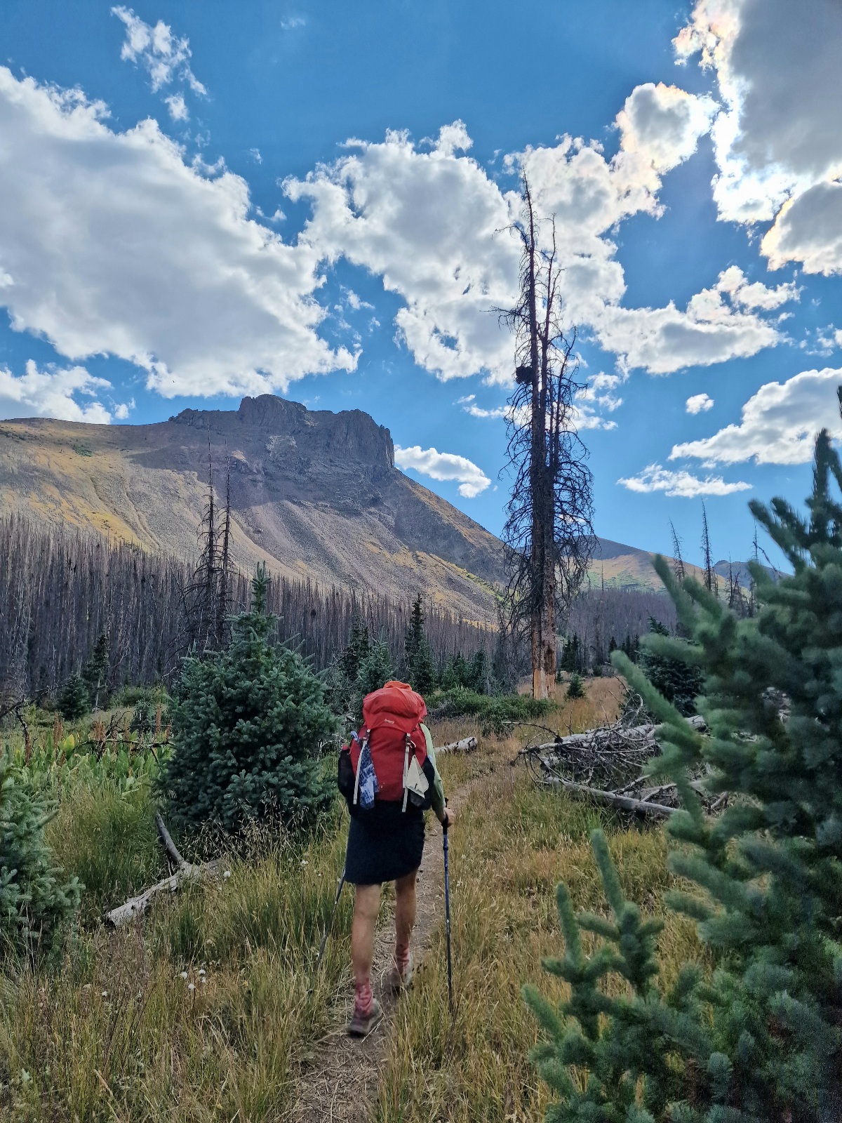
It was more sheltered in the forest, and the trail rose, warming up our bodies. Then the trail dropped 150 vertical meters (492 feet) into the next valley. We had followed a forest service road so far, but now we were back on a trail. The sun was high enough that the cold didn’t linger in this valley, but there was still dew on the grass. We were going to follow this valley for the rest of the day, which meant 22 km (13.7 miles).


In the valley bottom, the little river, Cochtopa Creek, flowed gently in small loops. Beavers had built several small dams all along the river. In some of the dams, fish were rising, and we could count dozens of fish calmly swimming in the shallow ponds.
Across the trail, from the river and up the hillside, there were paths that industrious beavers had made to get up into the forest to fetch deciduous trees for construction. We saw small and large dams throughout the hike up the valley, but we couldn’t spot any beavers.

The trail followed the west side of the valley for five km (3 miles) before the river had to be crossed to continue on the right side. We tried to cross the river without getting our feet wet, but it didn’t work. It didn’t really matter, though; it felt good to get water on our feet.

On the right side of the valley, we got more sun, and it became really hot to hike. We were happy every time a small breeze came through.

The valley rose gently without long, steep climbs. It alternated between open parts and forest. After 17 km (10.6 miles), we took a long, good break before continuing. For a few kilometers, we passed grazing cows before the valley bottom narrowed and rose a little more steeply.


After 25 km (15.5 miles), we started looking for a tent site. At that point, I filled my pack with 4.5 liters (1.2 gallons) of water. Three kilometers later, we found a good spot. There was actually a stream flowing nearby, and we were able to wash our very dusty feet.

When we arrived at the campsite, we saw two deer, a mother and a fawn. They bounded away when we arrived. While I was setting up the tent, we suddenly became aware of a deer grazing just 10 meters (33 feet) away from us. It was not very afraid and stayed around the campsite until it got dark. We had intended to hang our newly washed socks out, but we didn’t dare. Deer can steal them.

When we were washing our feet in the stream, we met Pinky, whom we hadn’t seen in over a week. He was going to camp a little further up the valley.
Today’s hike was 28 km (17.4 miles) and 930 vertical meters (3,051 feet). We are camping at 3,530 meters (11,581 feet) above sea level.
