We had a relaxed morning and didn’t start hiking until 8:30 AM. We have plenty of time on this trip. The birds that attacked us yesterday swooped down at us a couple of times today before we left our campsite.
Sørøya is located right on the outer edge of the ocean, and it can be incredibly windy here. As a result, there are no trees on the island, though you might find a few sheltered by houses.
There was some wind today, but it didn’t bother us too much. The wind also helped keep insects away. We took breaks in calm, wind-sheltered spots, and there were surprisingly few insects there. The only time mosquitoes were noticeable was when we set up camp in the evening, but that was by a perfectly still lake with no breeze whatsoever.

We didn’t see any sun today, but also no rain. The temperature ranged from 12 degrees Celsius (54 degrees Fahrenheit) up to 20 degrees Celsius (68 degrees Fahrenheit). I actually walked in shorts for a good while.

The route goes up and down a lot through the landscape, often following animal trails. Sometimes the path is distinct, only to suddenly disappear completely. Occasionally, there are two, maybe three, parallel paths. Other sections have no path at all, but the marking is good to follow, even if it’s starting to show some wear in places.


During the day, we saw some large reindeer herds—the only animals we observed. I don’t know what other animals exist on the island. There are many birds, both in number and species.
There are no DNT cabins along the trail, but we passed an open shelter north of Mattisvatnet. It had a couple of beds and could be an option for an overnight stay if the weather is truly bad. It also has an outhouse, which I made sure to use.

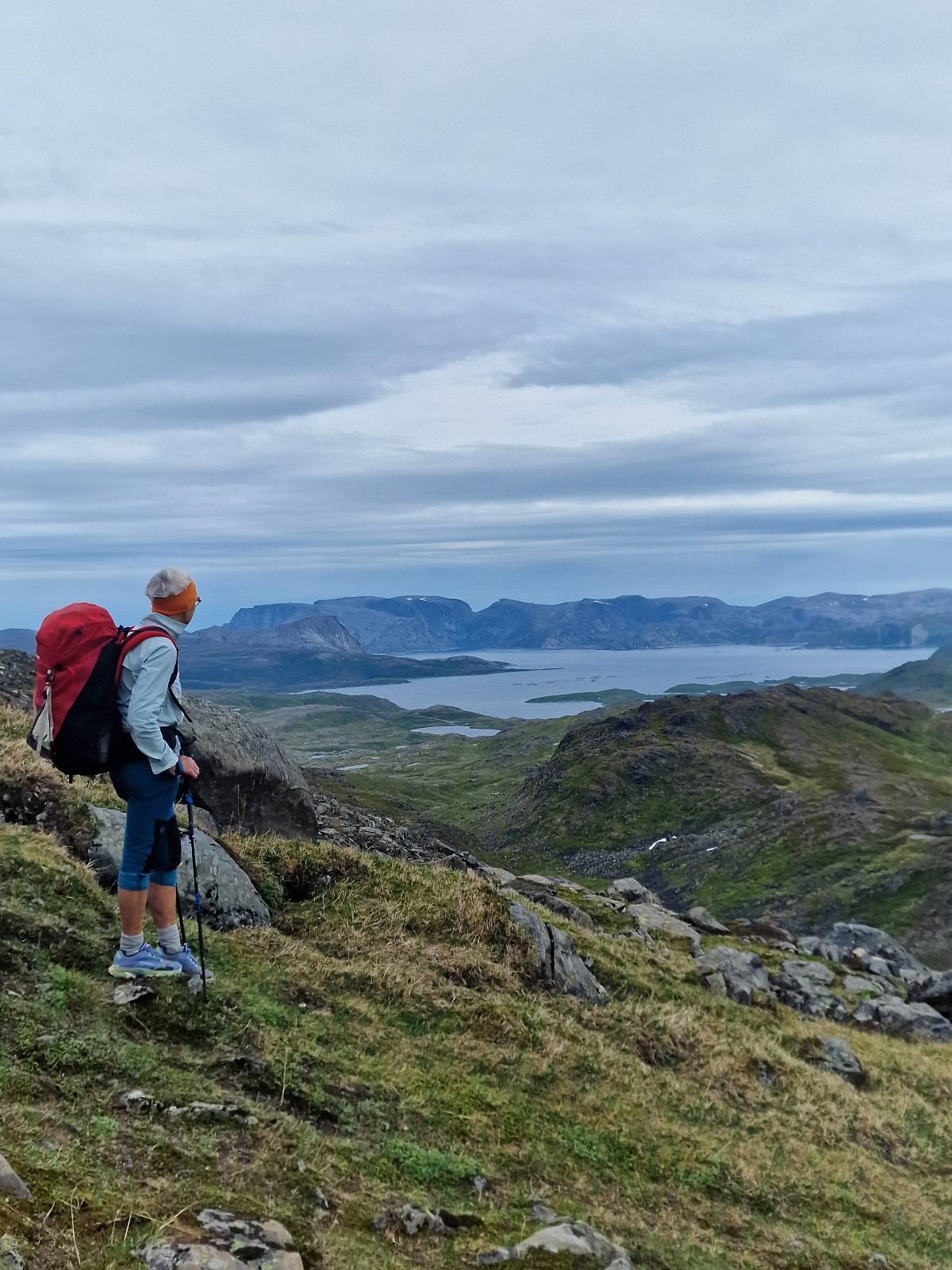
At the highest ridges, the route reached 450 meters (approx. 1,476 feet) above sea level, and we had to cross several snow-covered sections.


At Gjertrudvatnet, we saw a tent and some people fishing. A few kilometers further north, we met the only other hikers we encountered all day: three young men who were also hiking the island lengthwise, but southbound. They had fishing rods, but fishing had been poor. Their day’s goal was the hut by Mattisvatnet.


We took some long and enjoyable breaks throughout the day and finished our hike around 7 PM by a small, completely calm lake, slightly northwest of Steinfjellet.

Today’s stage was 21 km (13 miles) and 1,020 meters (3,346 feet) of elevation gain.
